
See the trail before you ride it
True-to-scale 3D scans of real mountain bike trails, free to explore in your browser.
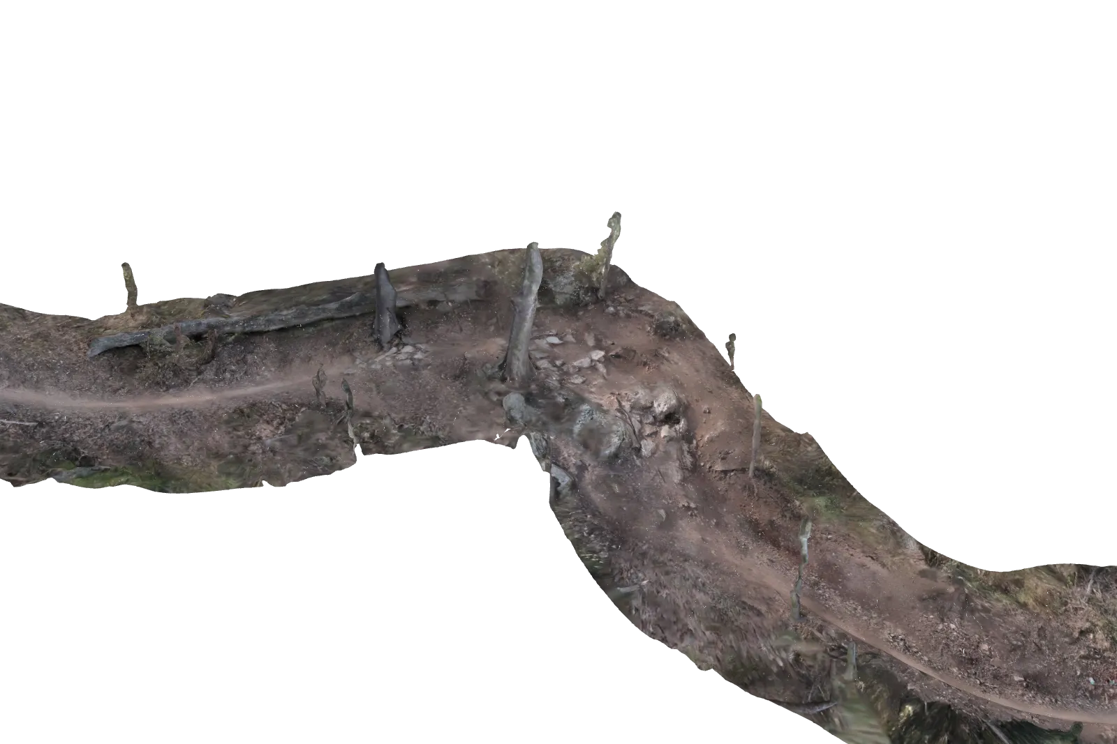
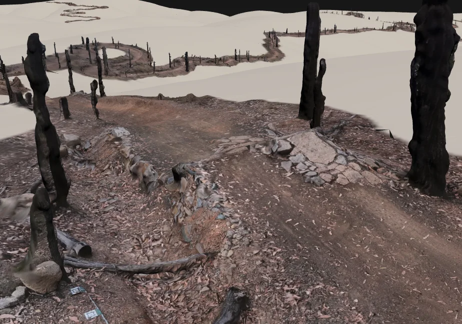
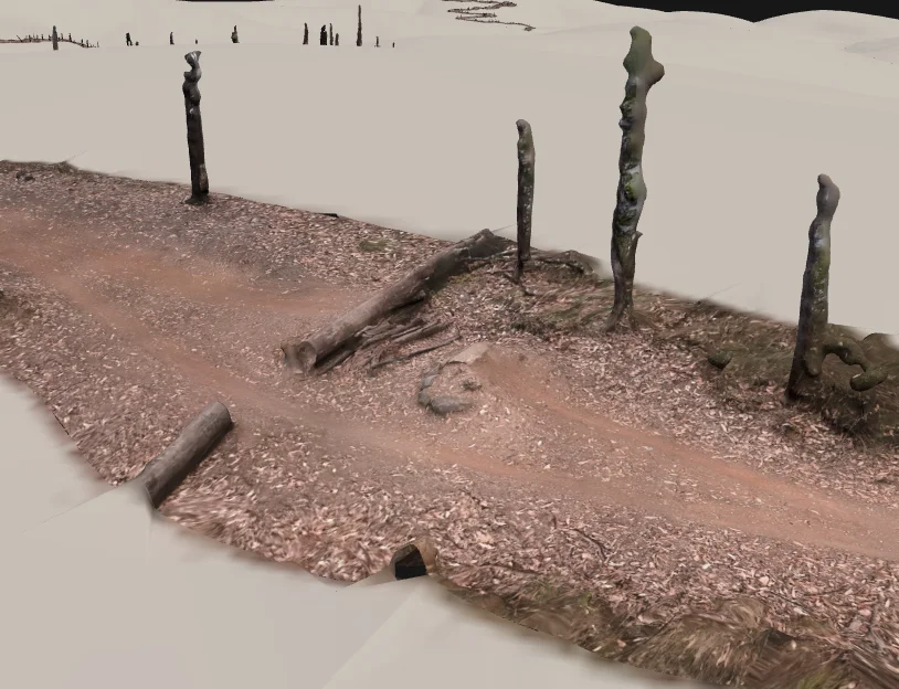
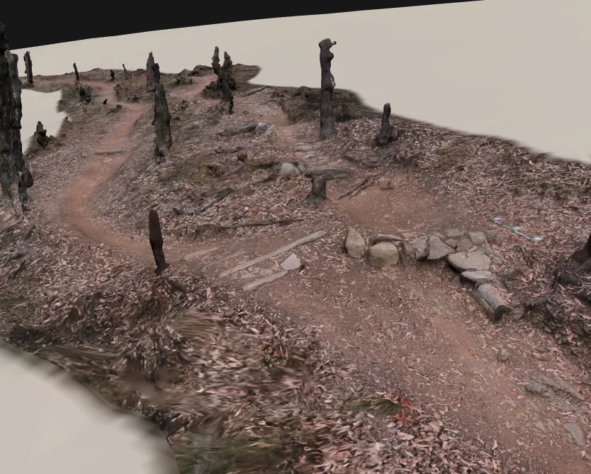
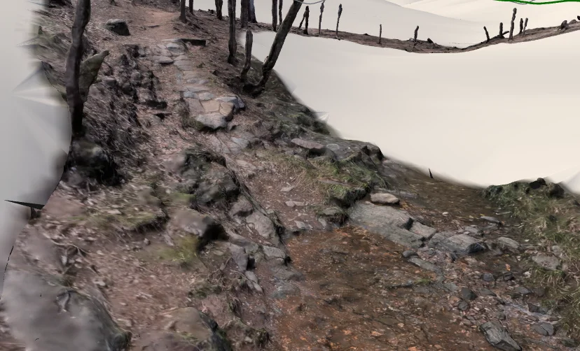
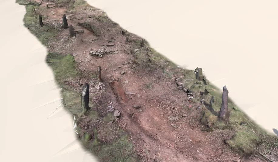
3D scan of Axe Breaker, Gap Creek Reserve
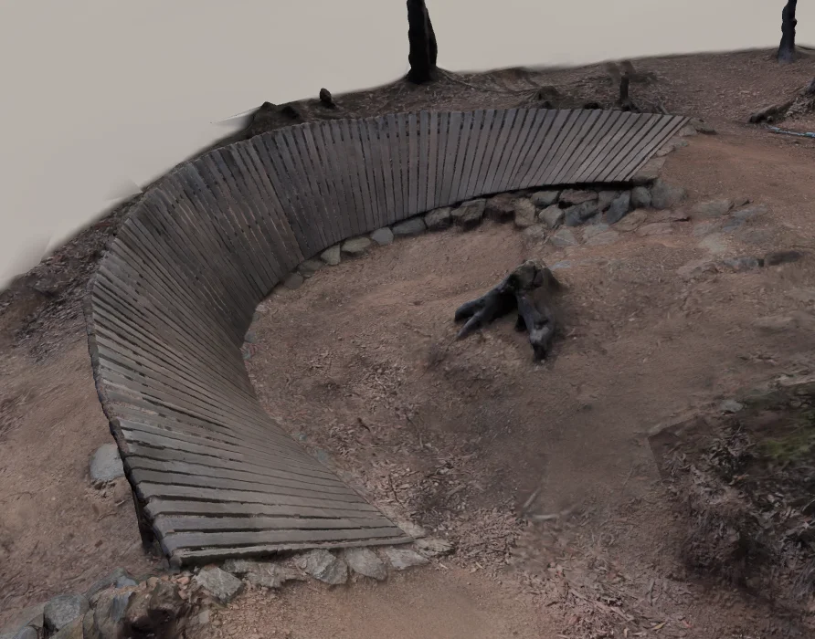
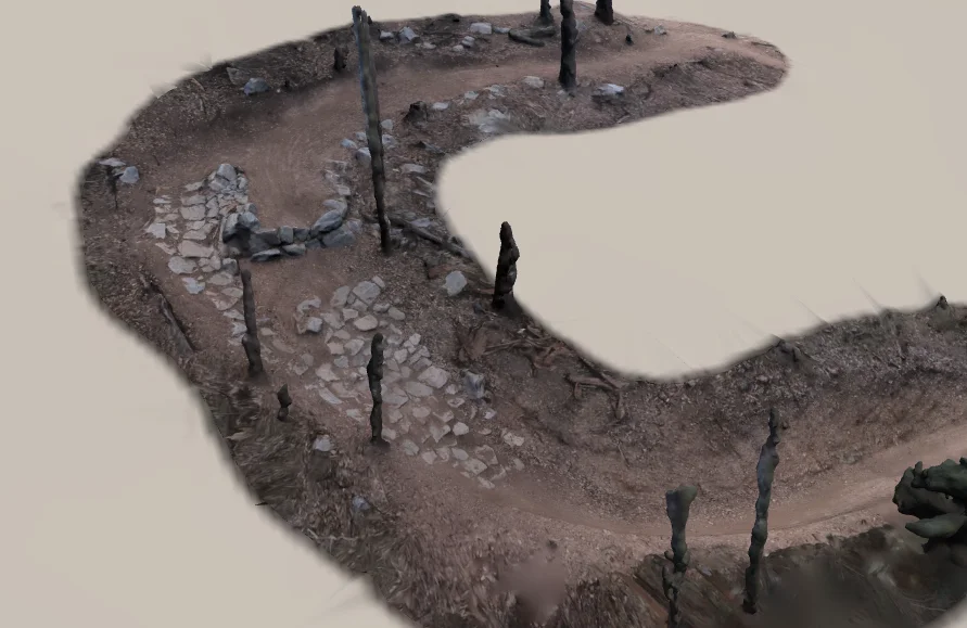
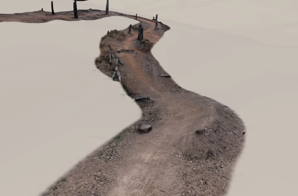
Explore scanned trails
Pick a park on the map or in the list to see its trails in 3D.
Map of the parks.
- Gap Creek Reserve
2 trails scanned
- Bunyaville Conservation Park
5 trails scanned
- Samford Conservation Park (Ironbark Gully)
1 trail scanned
- Eastern Escarpment Conservation Area
Planned
- Daisy Hill Conservation Park
Planned
Video can't show how big a trail really is
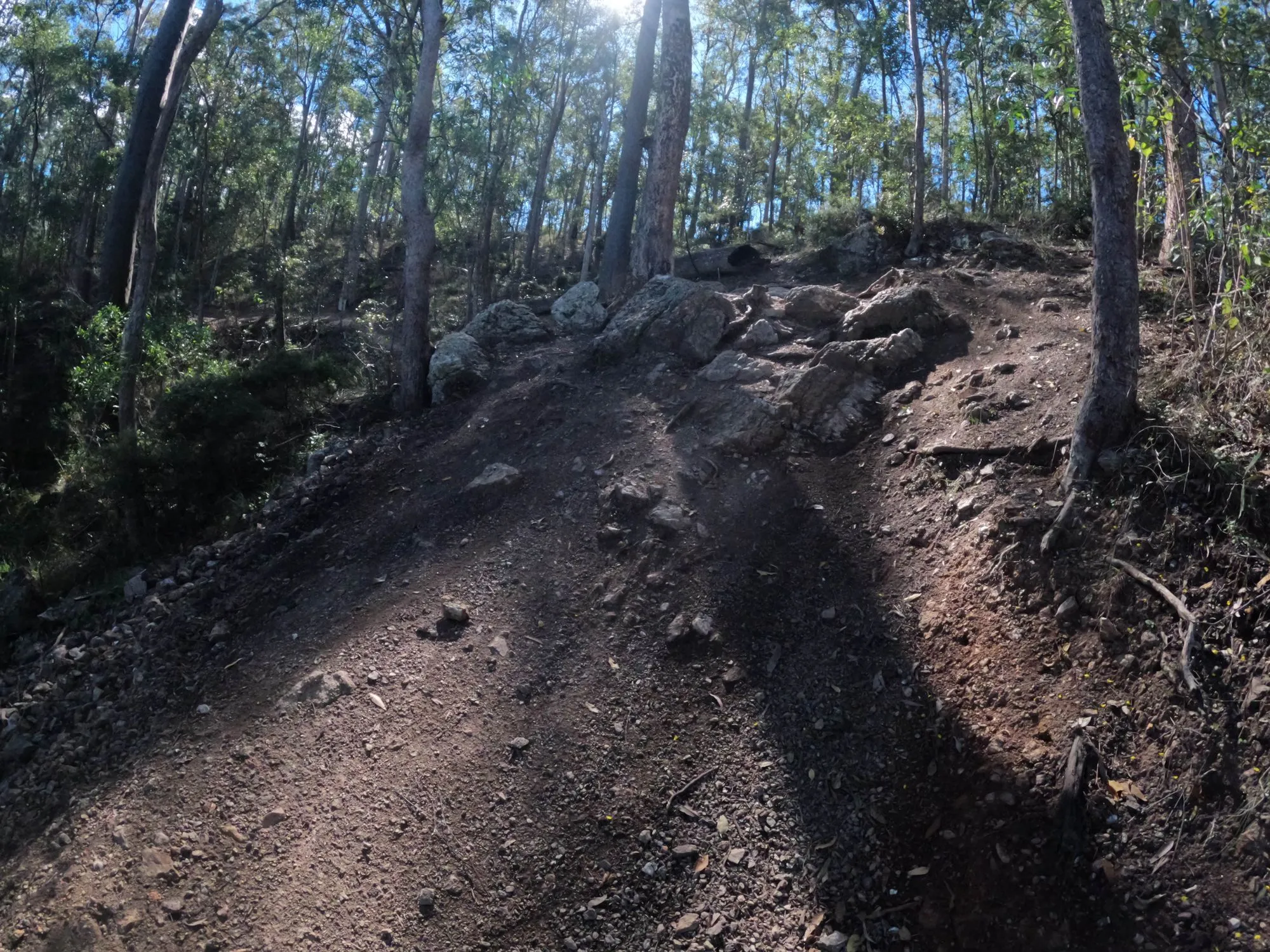
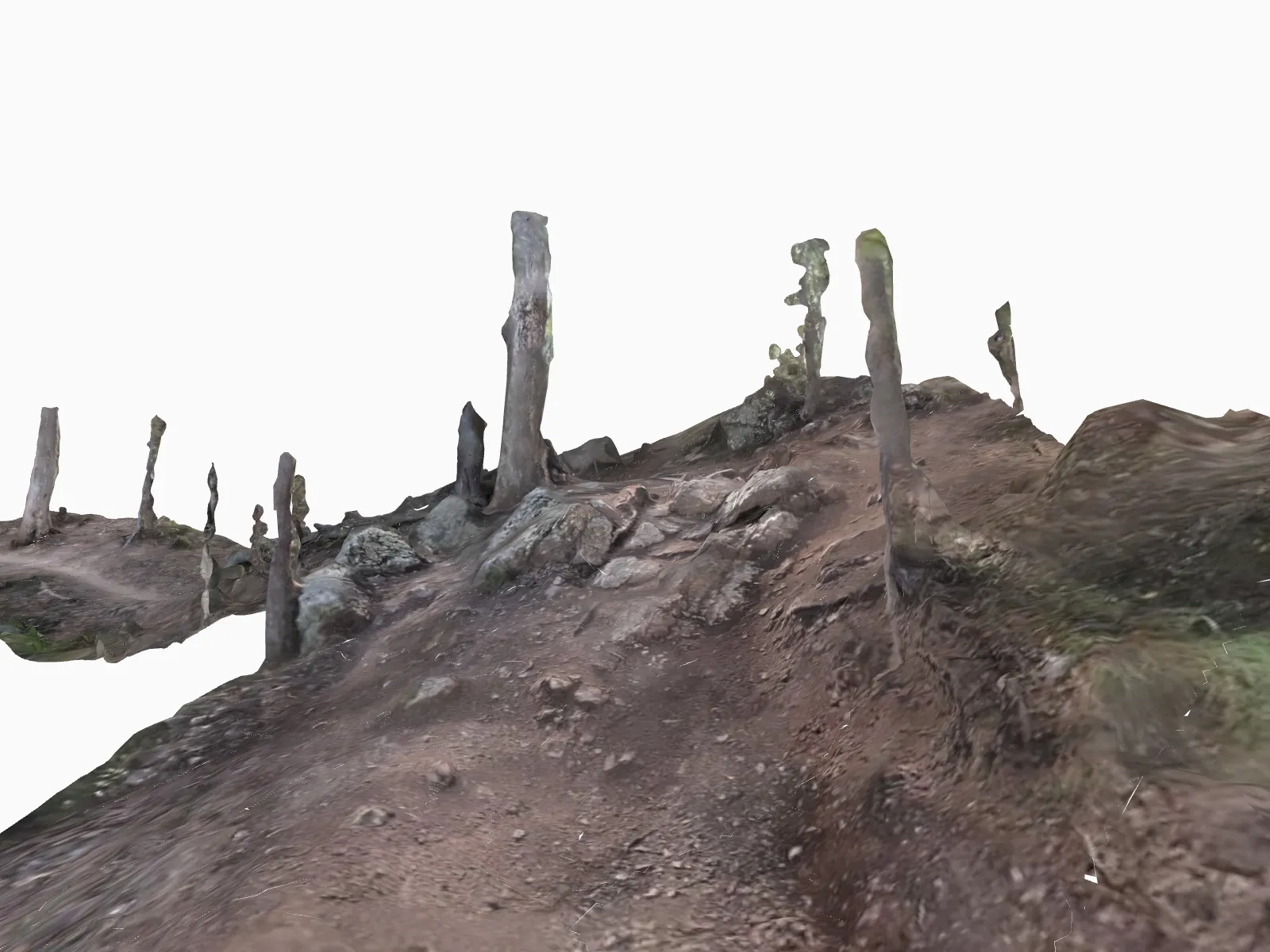
Action cameras flatten and distort the ground, so it's hard to judge how big or how steep a feature is. A DirtScan model is true to scale, and you can explore the trail at your own pace.
How scanning works
Step 1
Tell us about your trail
Where it is, how long it is and what you want the scan for.
Step 2
We come and scan it
We walk the trail with a GoPro. No need to close the trail.
Step 3
Processing and publishing
We process the photos into a 3D model and publish the trail, or do any additional analysis you may want.
Run or build a trail? We'll scan it for you.
We come to your trail and scan it, then publish it as a 3D model that riders can explore. We can also do custom analysis on the data.
Get a trail scannedWhat a scan could be used for
- Showcasing your trails to prospective riders who may not live in the area.
- An event organiser giving racers a preview of the course.
- Giving land managers and stakeholders better visibility into work or issues on a trail.
The story of DirtScan
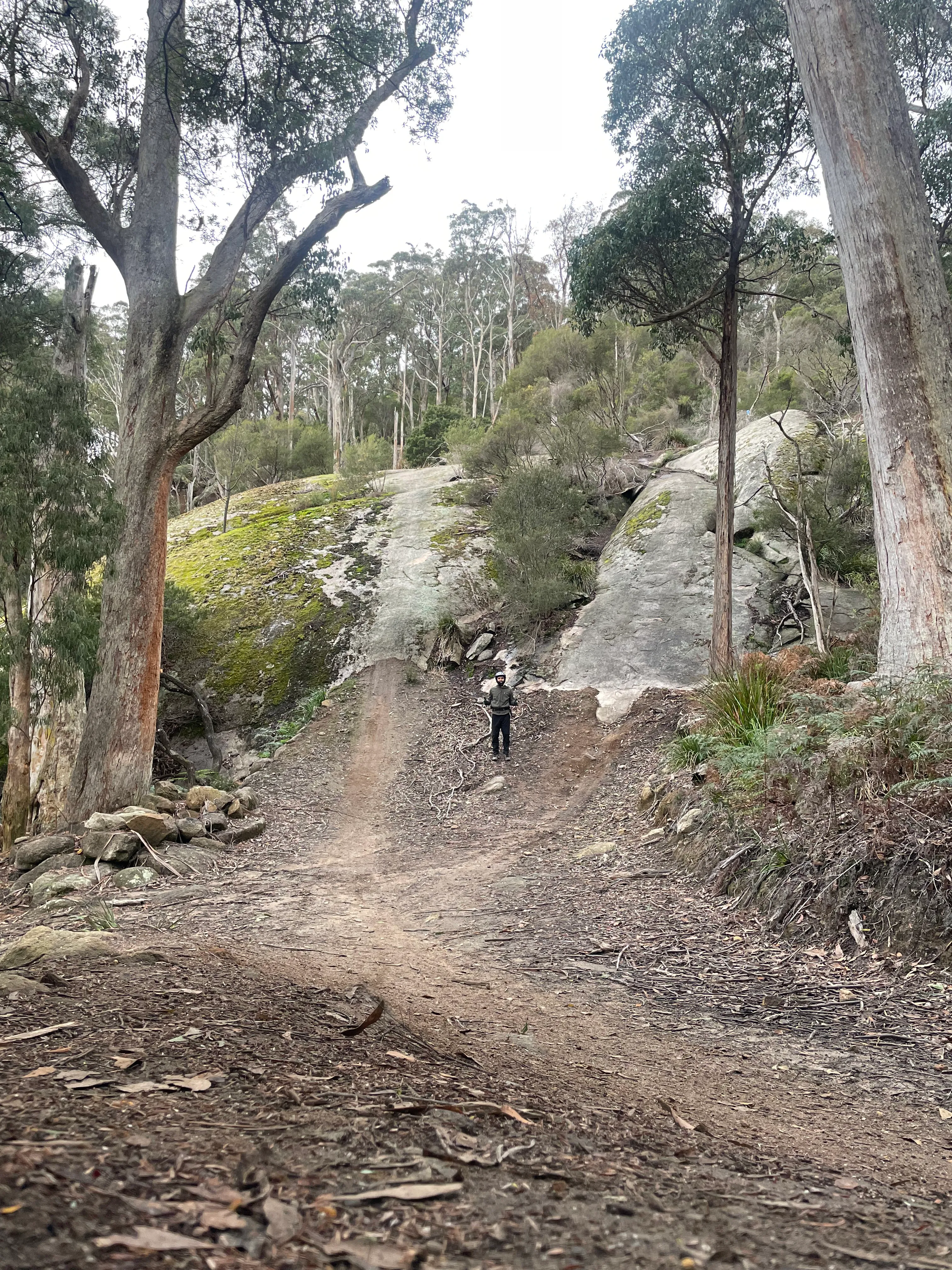
DirtScan started as an idea to share trails in a completely new way. Could there be a way to see exactly just how big, tall or rough a trail was - from anywhere in the world? With advances in modern software, we now have a easy way with simple, common equipment where we can capture a mountain bike trail in true-to-scale 3D. This unlocks a whole new way for people to find, explore and look after trails.
Sincerely,
Matthew Hilton, DirtScan founder
Read the full storyLatest from the blog
Questions
What is DirtScan?
DirtScan publishes free, true-to-scale 3D scans of mountain bike trails that you can explore in your browser. Each scan is made on foot with a small camera.
How accurate are the scans?
At any point the features are within 10cm of their original size (known as local error), and overall the entire track is within 0.5m of its actual length (known as global error).
What equipment do you use?
A GoPro, carried on foot, and a 1 metre steel scale bar. The photos are turned into a 3D model after the scan on a computer. This likely costs less than a LiDAR survey and avoids the permits that drones need, while still giving a true-to-scale model.
What does it cost to view the trails?
Nothing. You can explore the trails for free on this website, with no payment or signup required.
Which areas are covered?
Gap Creek Reserve, Bunyaville Conservation Park and Samford Conservation Park (Ironbark Gully), both in Brisbane, Queensland. More are on the way.
Can DirtScan scan my trail?
Yes. We come and scan it and process it for you as a service. We can also do further analysis on the scans (such as automatically detecting features, slopes, grades). Tell us about your trail and what the scan is for. Get a trail scanned
Can I scan a trail myself?
Yes. The scanning method and the code are open source, so you can download them and use them yourself if you are technically minded. DIY guide
Do it yourself
The scanning method and the code behind DirtScan are open source. If you would rather scan a trail yourself, the DIY guide explains how.